Carousel News

News

Citizens Highlights

Navigation Menu

Breadcrumb

News Overview

News

The News section offers the latest information about Citizens and what you need to know. Read the latest press releases, media resources, policyholder newsletter and agent bulletins.

Web Content Display (Global)

Press Release

Current Policies in Force

Policies in Force as of September 20, 2024: 1,257,924.

Asset Publisher

Asset Publisher

NOAA Graphical Forecast for the Atlantic

NOAA Logo
Storm Tracker
NOAA Graphical Forecast for the Atlantic
NHC Atlantic Outlook
Sep 26, 2024 8:52:19 PM

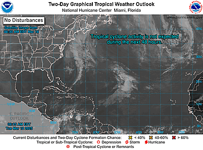
Atlantic 2-Day Graphical Outlook Image
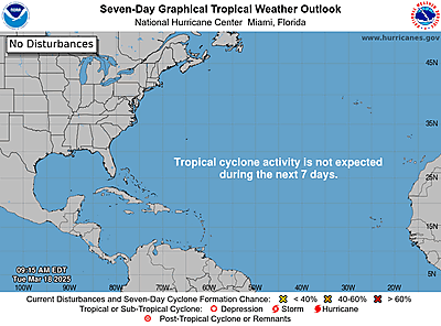
Atlantic 7-Day Graphical Outlook Image


ZCZC MIATWOAT ALL
TTAA00 KNHC DDHHMM

Tropical Weather Outlook
NWS National Hurricane Center Miami FL
200 PM EDT Thu Sep 26 2024

For the North Atlantic...Caribbean Sea and the Gulf of Mexico:

Active Systems:
The National Hurricane Center is issuing advisories on Hurricane
Helene, located over the eastern Gulf of Mexico and on Tropical
Storm Isaac, located over the central Subtropical Atlantic Ocean.

1. Eastern and Central Tropical Atlantic (AL98):
Showers and thunderstorms associated with an area of low pressure
located several hundred miles west of the Cabo Verde Islands
continue to show signs of organization. Recent satellite imagery
suggests the system does not yet have a well-defined surface
circulation. However, environmental conditions are expected to be
conducive for further development. A tropical depression is
expected to form later today or tomorrow while the disturbance
moves generally westward to west-northwestward at 10 to 15 mph. The
system is then forecast to slow down and turn northward late Friday
and Saturday.
* Formation chance through 48 hours...high...90 percent.
* Formation chance through 7 days...high...90 percent.

2. Western Caribbean:
An area of low pressure could form over the western Caribbean by the
middle of next week. Environmental conditions are expected to be
conducive for slow development thereafter, while the system moves
generally northwestward.
* Formation chance through 48 hours...low...near 0 percent.
* Formation chance through 7 days...low...20 percent.


Public Advisories on Tropical Storm Isaac are issued under WMO
header WTNT35 KNHC and under AWIPS header MIATCPAT5.
Forecast/Advisories on Tropical Storm Isaac are issued under WMO
header WTNT25 KNHC and under AWIPS header MIATCMAT5.

Forecaster D. Zelinsky/Bookbinder