Carousel Storms

Monitor

Citizens Highlights

Navigation Menu

Breadcrumb

Asset Publisher

Monitor

Asset Publisher

During the annual Atlantic storm season, which runs June 1-November 30, Citizens monitors the weather forecast 24/7 for potential storms or storm effects. For the most up-to-date information, Citizens relies on the National Oceanic and Atmospheric Administration and its National Hurricane Center (NHC) for storm advisories and other storm-related information.

The National Hurricane Center’s tropical storm forecasts are developed by several agencies that work collaboratively to issue timely and informative reports. Citizens also uses a geographic information system (GIS) tool that incorporates data from NHC and helps track and forecast projected storm paths and wind and surge information so Citizens can be ready when a storm strikes Florida.

Know what to do if you need to evacuate. Citizens has partnered with the Florida Public Radio Emergency Network (FPREN) to bring you the latest news about catastrophic weather impacting your area. FPREN updates can be heard on your local public radio station and by downloading their free Florida Storms app from iTunes and Google Play.

Asset Publisher

NOAA Graphical Forecast for the Atlantic

NOAA Logo
Storm Tracker
NOAA Graphical Forecast for the Atlantic
NHC Atlantic Outlook
Sep 27, 2024 2:58:20 AM

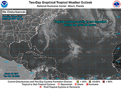
Atlantic 2-Day Graphical Outlook Image
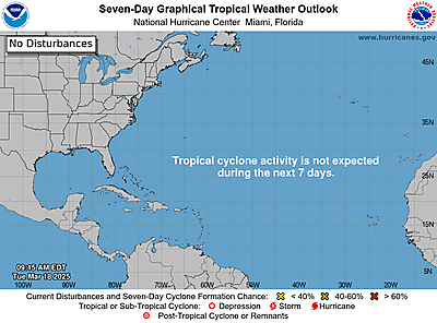
Atlantic 7-Day Graphical Outlook Image


ZCZC MIATWOAT ALL
TTAA00 KNHC DDHHMM

Tropical Weather Outlook
NWS National Hurricane Center Miami FL
800 PM EDT Thu Sep 26 2024

For the North Atlantic...Caribbean Sea and the Gulf of Mexico:

Active Systems:
The National Hurricane Center is issuing advisories on Hurricane
Helene, located over the northeastern Gulf of Mexico and on
Tropical Storm Isaac, located over the central Subtropical Atlantic
Ocean.

1. Eastern and Central Tropical Atlantic (AL98):
Showers and thunderstorms associated with an area of low pressure
located about one thousand miles west of the Cabo Verde Islands
continue to show signs of organization. Recent satellite imagery
suggests the system does not yet have a well-defined surface
circulation. However, environmental conditions are expected to be
conducive for further development. A tropical depression is
expected to form tonight or on Friday while the disturbance moves
generally westward to west-northwestward at 10 to 15 mph. The
system is then forecast to slow down and turn north-northwestward
late Friday and Saturday.
* Formation chance through 48 hours...high...90 percent.
* Formation chance through 7 days...high...90 percent.

2. Western Caribbean:
An area of low pressure could form over the western Caribbean Sea
by the middle of next week. Environmental conditions are expected to
be conducive for slow development thereafter, while the system
moves generally northwestward.
* Formation chance through 48 hours...low...near 0 percent.
* Formation chance through 7 days...low...20 percent.


Public Advisories on Tropical Storm Isaac are issued under WMO
header WTNT35 KNHC and under AWIPS header MIATCPAT5.
Forecast/Advisories on Tropical Storm Isaac are issued under WMO
header WTNT25 KNHC and under AWIPS header MIATCMAT5.

Forecaster Hagen